Every year since 2006 the Shoalhaven Bushwalkers have made the late April jaunt to Laurel Hill near Tumbarumba for 5 days of bushwalking and relaxation. Laurel Hill Forest Lodge is situated next to a Pine Forest just 20km north of Tumbarumba. The lodge was once a low security prison farm, then taken over by the Forestry Commission before the present owners bought the place and turned it into a holiday and convention center - all the cabins are named after well-known prisons in Australia. Several sections of the Hume & Hovell Walking Track are located close to or just a short drive away, allowing walkers to attempt short day walks along the track.
Most of the walks below were done during my times at Laurel
Hill in 2008, 2011 and 2012 and feature sections of the Hume & Hovell
Walking Track. The track itself follows the route that explorers Hamilton
Hume and William Hovell took in 1824 when they attempted to find suitable
grazing land to the south of the colony and solve the mystery to where
the western rivers flowed. They instead discovered a route between Sydney
and Melbourne. Their basic journey was along a route which now sees the
Hume Highway built between the two capital cities, though not the exact
route the explorers took. During the 1980's a long distance walking track
was created which starts at Yass and ends at Albury, around 425km in distance
- a walk that takes about 25 days to complete - and follows basically
the same route the explorers took (with exceptions where there are now
dams). In April & May 2018, accompanied by several friends and fellow
bushwalkers I successfully completed the entire walk.
JAMES FITZPATRICK TRACKHEAD TO LOG BRIDGE CREEK CAMPSITE 2015
HENRY ANGEL TRACKHEAD TO TUMBARUMBA CREEK 2008
HENRY ANGEL TRACKHEAD TO JUNCTION CAMPSITE 2011
HUME AND HOVELL YASS TO ALBURY Part 1
HUME AND HOVELL YASS TO ALBURY Part 2
HUME AND HOVELL YASS TO ALBURY Part 3
HUME AND HOVELL YASS TO ALBURY Part 4


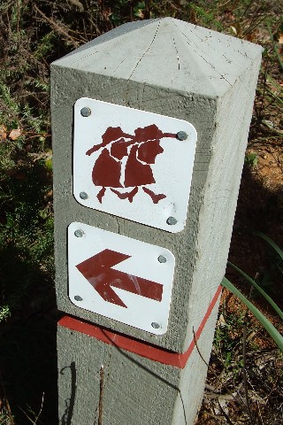
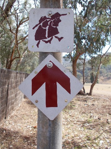
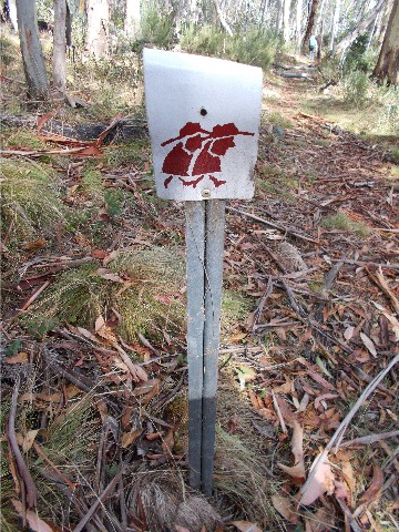
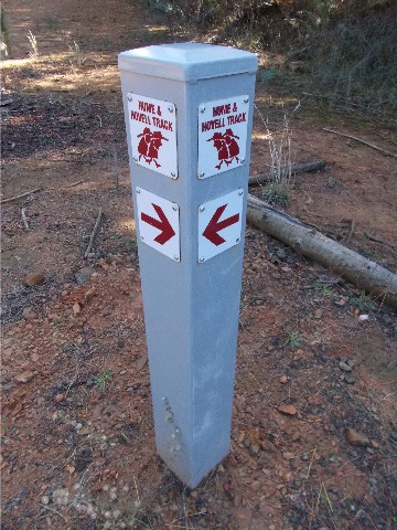
A selection of the different types of track markers used