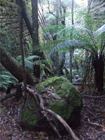
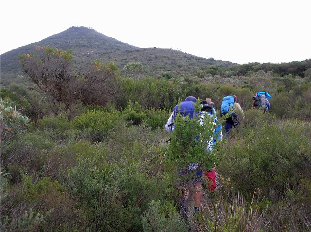
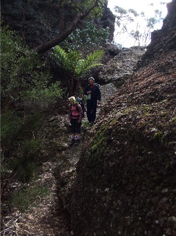
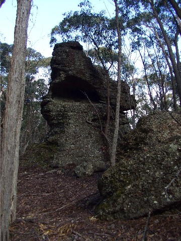
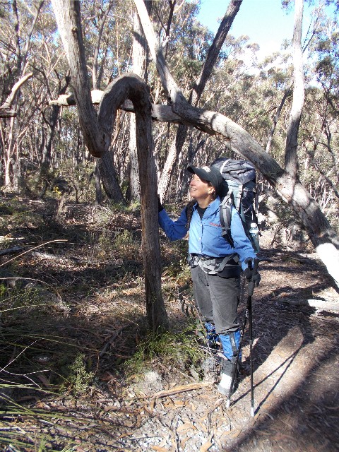
Images on this page will feature photographs taken in the Budawangs from 2002 onwards and it is a work in progress
An example of elfin forest which gives Little Forest Plateau its name - taken from near Mt Bushwalker 2011
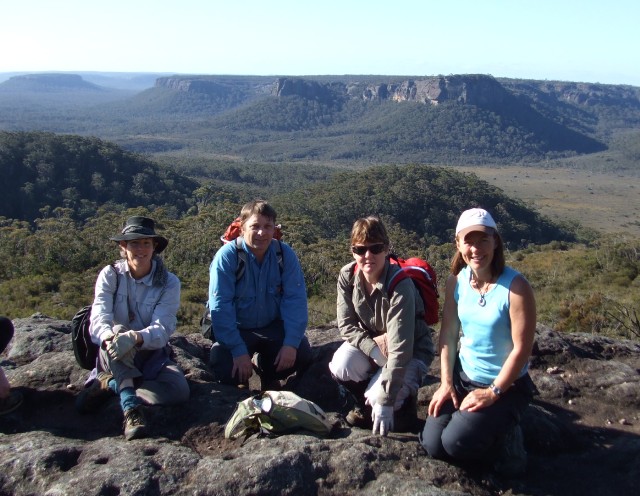
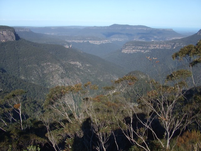
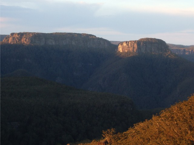
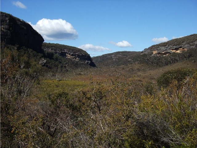
The excellent view from Mt Bushwalker, easily my favourite
view in the Budawangs with The Castle dominating
the centre of the photograph - taken in 2011
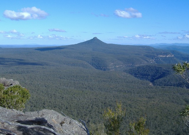
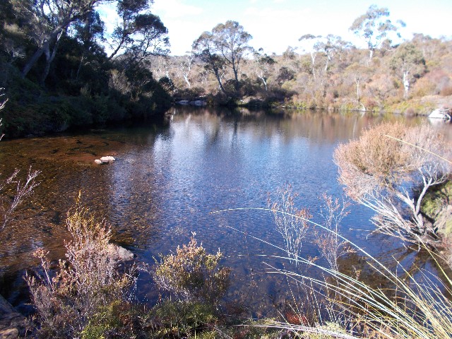
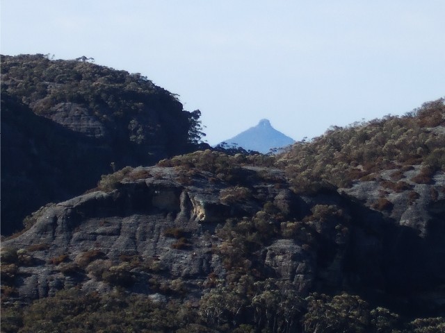
Pigeonhouse Mountain taken from Rusden Head on Little Forest Plateau (2007)
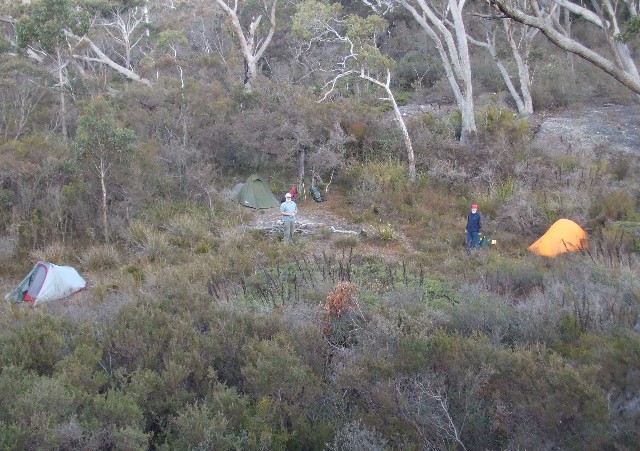
Camp Rock Camping Area as seen from the top of Camp Rock itself (2008)
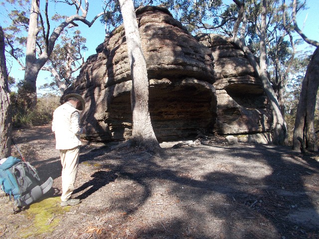
Camp Rock showing the actual camping overhang (2016)
The view looking south east from the top of Quiltys Mountain near the Bora Ground - looking down the Kilpatrick Creek valley towards Holland Gorge and Pigeonhouse Mountain in the distance (2015)
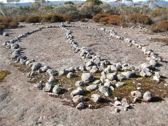
One of the stone arrangements to be found at the Quiltys Mountain Bora Ground (2015)
Styles Camp on the bank of Styles Creek beneath the southern tip of Quiltys Mountain (2008)
Hoddles Castle Hill taken from Styles Plain (2006)
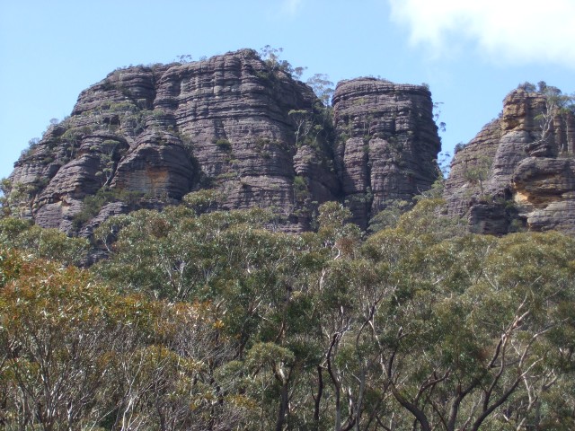
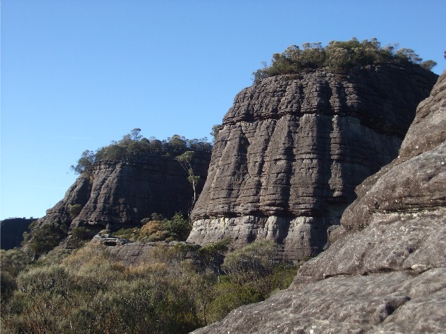
A spot on Sturgiss Mountain known as Pagoda Rocks - taken from the track across Styles Plain (2007)
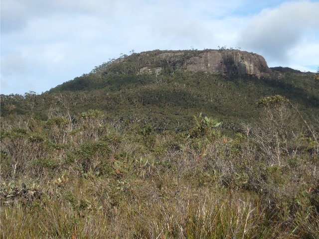
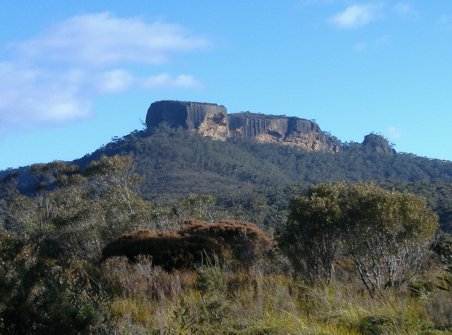
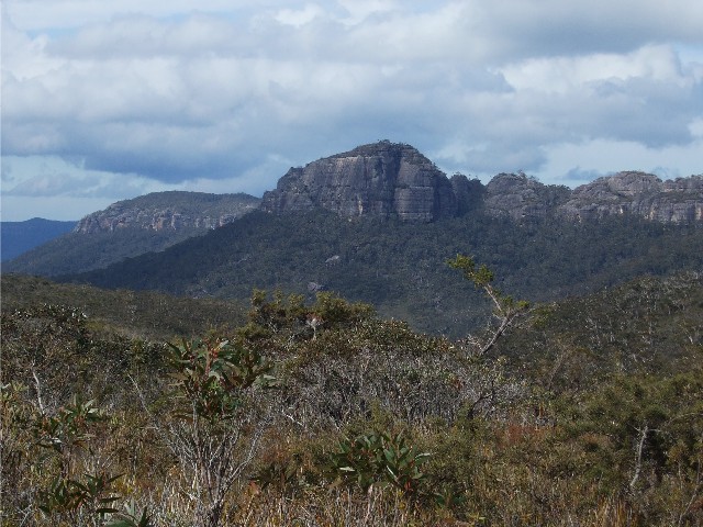
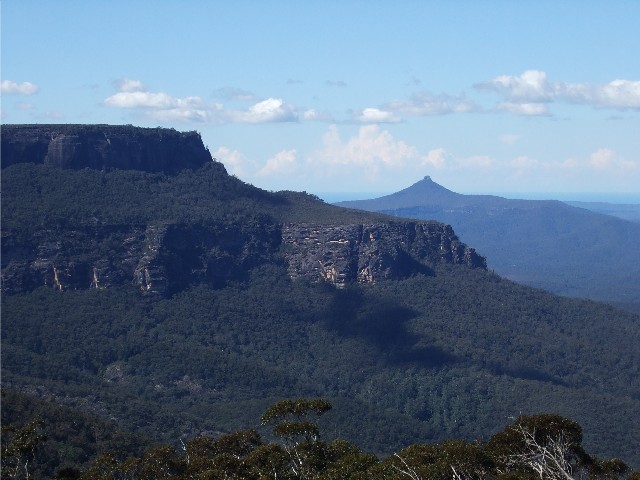
Image of Mt Haughton as taken from the track on Styles Plain (2014)
Near the summit of Mt Haughton with Quiltys Mountain behind.
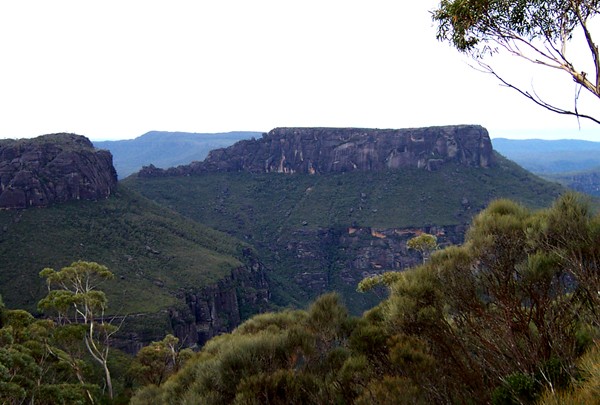
Flat Top Mountain in distance
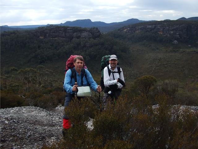
L-R - Karen Davis, Paul Ellis, Sandra Kelley & Kynie
Evison (2007)
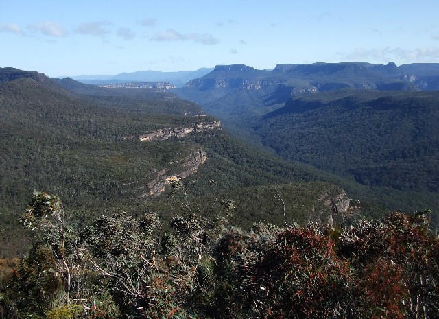
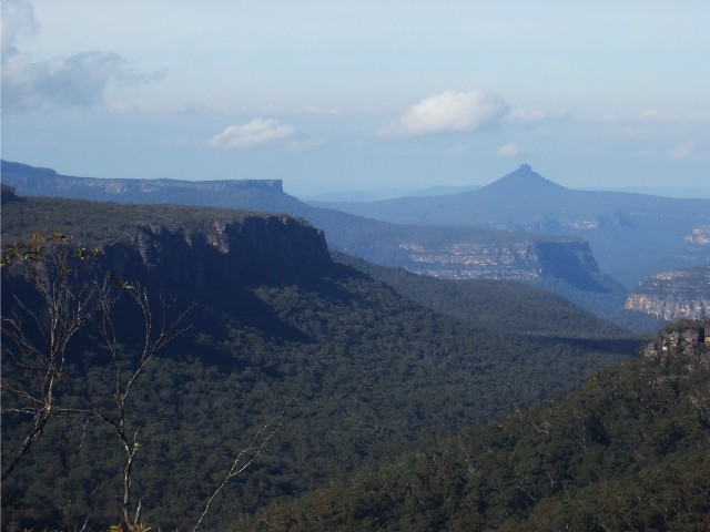
Hollands Gorge taken from the summt of Mt Haughton. The
tip of Mt Elliott on the left with Folly Point
behind, Mt Talaterang in the distance and Sentinel Hill
in the foreground (2007)
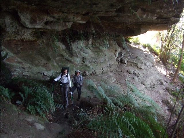
Ian and Max making their way through one of the many camping caves (Overhangs) at the base of the Mt Haughton cliffline (Aug 2013)
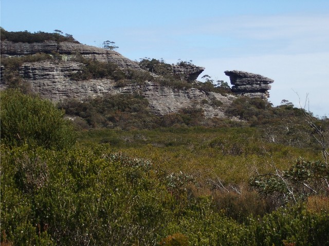
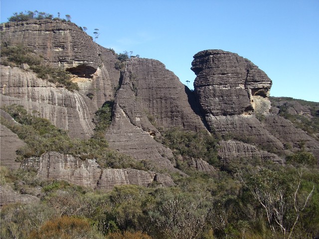
A view of Anvil Rock which can be found on the south-eastern end of Mt Tarn (Aug 2013)
Donjon Mountain flanked by Mt Cole (Right) and Shrouded Gods Mountain (Left) taken from the ridge track between Mt Tarn and Bibbenluke Mountain (Aug 2013)
Sturgiss Mountain and Mt Elliott from across the valley, taken from near Sunset Cave at Donjon Mountain at Sunset - September 2014
View of two of the Seven Gods Pinnacles found near Monolith Valley (2014)
Mistakenly called the Green Room, this gully leads walkers into a descent to Monolith Valley (2014)
The classic view of a rock formation found in Monolith Valley (2014)
Another example of rock monoliths found in Monolith Valley (2014)
The Castle as seen from the southern end of Mt Owen
Photo courtesy Brett Davis 2002
Part of the Budawangs Scenic Rim that includes Mt Owen (Left) and Pidgeonhouse Mountain (Background) taken from the track along Bibbenluke Ridge (Aug 2013)
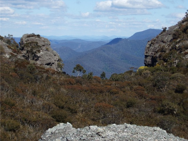
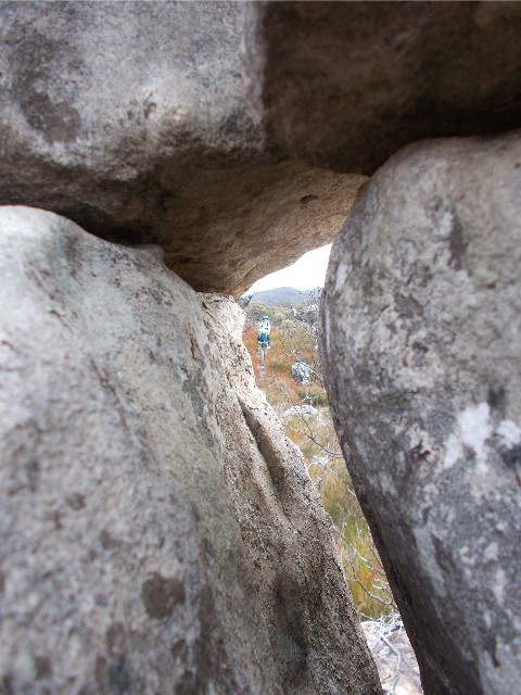
A view through the gap in the rocks looking west from Yurnga Lookout and includes Wiiritin Ridge (Aug 2013)
Burrumbeet Brook as seen from the pass next to Profile Rock Hill (Aug 2013)
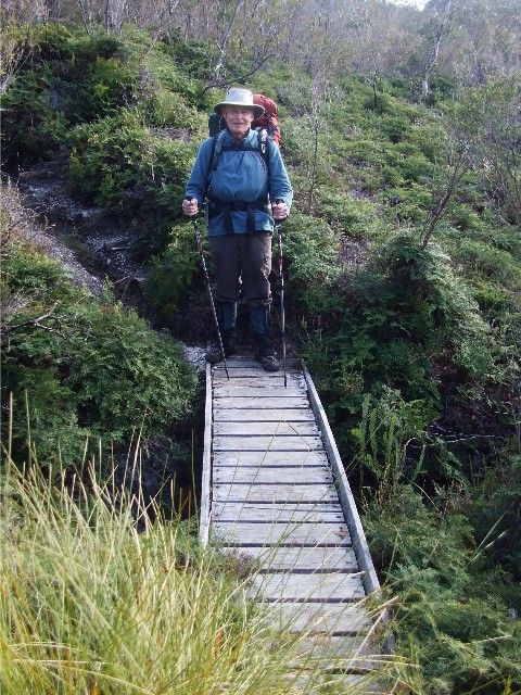
Peter Farrell about to cross a creek bridge near Burrumbeet Brook, not far from the old camping area after ascending past Profile Rock Hill (June 2015)

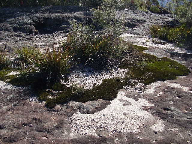
The duckboard across the Canowie Plain swamp between Profile
Rock Hill and Corang Plateau,
Kynie Evison and Peter Farrell (2006)
The Corang River makes its way through this gorge near
Canowie Flood Plain
Photo courtesy Brett Davis 2002
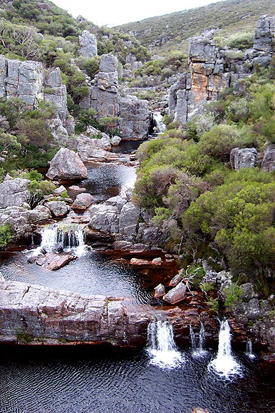
The same Corang Cascades Gorge as above but from river level. Joe Nethery able to explore due to the drought's low water levels (2018)
Corang River Lagoon near the old camping site on the bend in the river just above the cascades (2018)
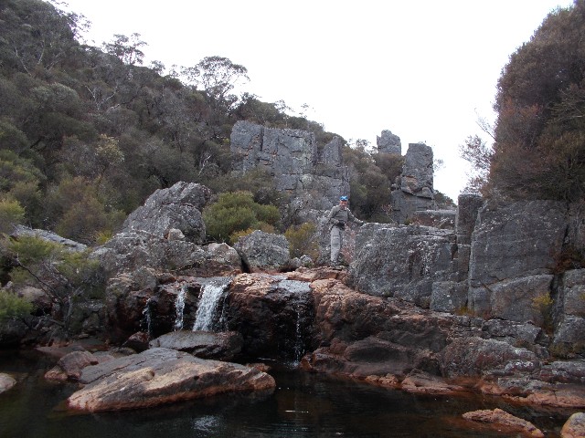
Corang Cascades Gorge just below the main cascades near the camping area (2017)
Keyhole Rock can be found on the ridge between the Corang River and Canowie Brook Flood Plain (2018)
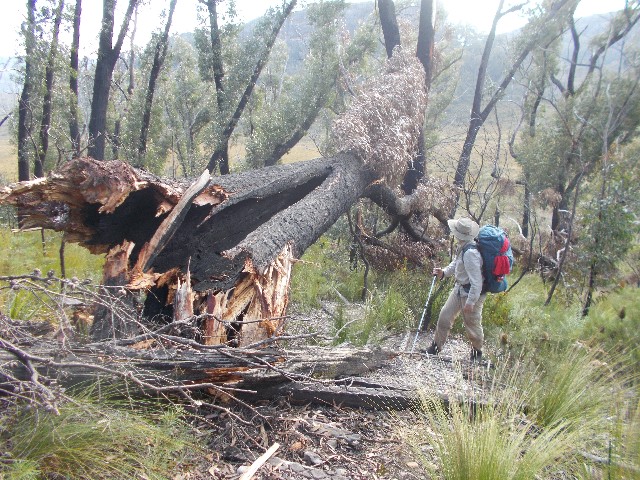
A large bushfire burnt tree fallen across the track that
ascends to the bottom of the Conglomerate Slope
that provides an easy route to the top of Corang Plateau
(2016)
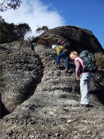
Vicki and Gary make their way up the Conglomerate slope onto the top of Corang Plateau from the Canowie Brook Plain (2012)
The classic view of Pigeonhouse Mountain as taken from the ascent up the conglomerate slope to Corang Plateau (2012)
Paul and Ian stand near the top of the Conglomerate Slope, the ascent onto Corang Plateau with Profile Rock Hill behind (Aug 2013)
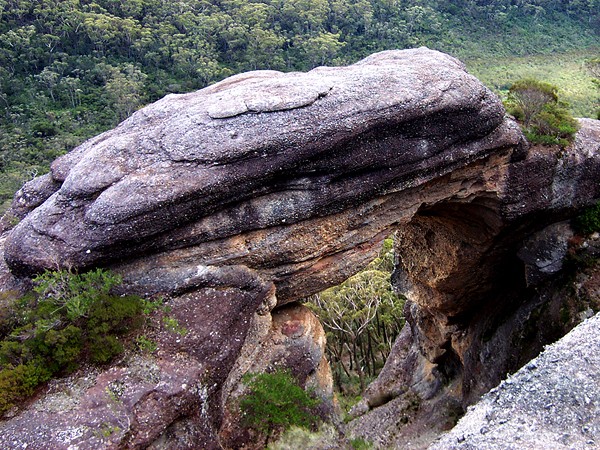
Corang Arch can be found situated off the cliff side between
Cotang Peak and the conglomerate slope
Photo courtesy Brett Davis 2002
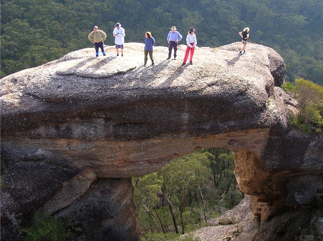
Shoalhaven Bushwalkers standing on the top of Corang Arch
during a walk in 2005
L-R - Paul Ellis, Brett Davis, Julie Davison, Peter Farrell,
Karen Davis and Sue Bosdyk
Photo courtesy of Colin Taylor
Shoalhaven Bushwalkers approaching Corang Peak on Corang
Plateau
Photo courtesy of Colin Taylor 2005
My daughter Vicki and best friend Gary make their way
through what hassuddenly been
named 'Borstal's Pass' where the track takes you onto
the top of Corang Plateau from the west. (2012)
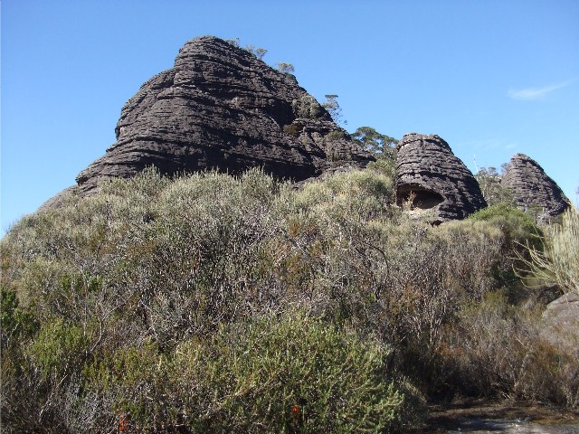
One of the many rock formations that can be found in the
Tinderry Rocks area of the Budawangs. Depending on where
you view this rock it can resemble a shark's head or
a fox head (2012)
Roni and the 'N' Shaped Tree found next to the track near Tinderry Rocks (2017